Rabu, 21 Juli 2010

Musim Badai 2010 : Peta Badai Tropis di Chanthu (Lau Cina Selatan)

AIRS infrared imagery of Chanthu from July 19 at 18:05 UTC showed strong convection (purple) from northeast to southwest
 
NASA's AIRS instrument infrared imagery of Chanthu from July 19 at 18:05 UTC showed strong convection (purple) from northeast to southwest. Credit: NASA/JPL, Ed Olsen 


AIRS saw an area of very high thunderstorm (purple) cloud tops from northeast to southwest around the center of TD4W.
NASA's Aqua satellite's AIRS instrument infrared image on July 18 at 0723 UTC saw an area of very high thunderstorm (purple) cloud tops from northeast to southwest around the center of TD4W.
Credit: NASA/JPL, Ed Olsen 

Tidak ada komentar:

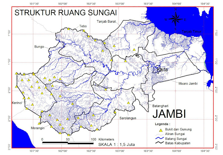
Struktur Sungai

Struktur Sungai

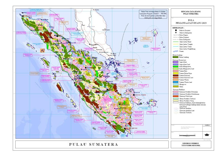
POLA RUANG SUMATERA

POLA RUANG SUMATERA

Kec. Jambi Selatan - Kota Jambi

Kec. Jambi Selatan - Kota Jambi

BERHALE ISLAND

Pulau Berhala
Large selection of World Maps at stepmap.com
StepMap Pulau Berhala


ISI IDRISI TAIGA

ISI IDRISI TAIGA

HOW TO GOIN ON BERHALE ISLAND

Kota Jambi

Desa Batu Kerbau - Kab. Bungo

Desa Batu Kerbau - Kab. Bungo

TERAKHIR DI UPDATE GOOGLE

COMMUNICATE

+62 812731537 01